Sowe powered up and took off into the grey, the lights of Moshi and Arusha slowly faded as the murk enveloped them. From the open cold cargo door of the Caravan, there was grey everywhere, twenty minutes later, bingo we were above it at 10,000 feet. The sun was a brilliant vivid orange with rays silhouetting the huge bulk of Kilimanjaro. Whew! Now only another thirty minutes to get there. But wow the cold!
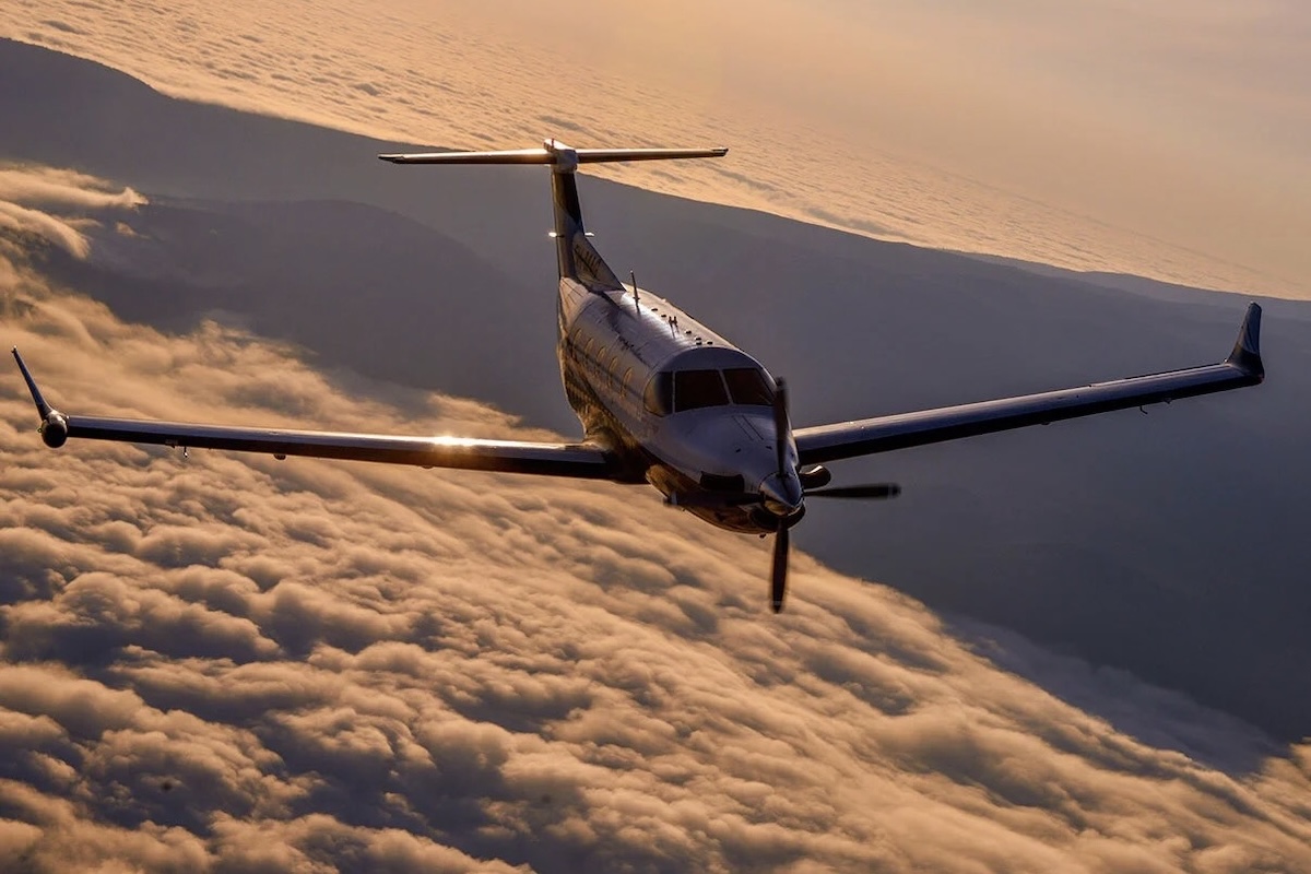
Down the front, I could see Joel staring through the cockpit with the grey circle of the prop in front of him, silhouetted by the sun. Mark was beside me, illuminated by the sun’s rays; he looked cold, but he was on the port side, away from the freezing slipstream. I’ll close the door … oh heck, there isn’t one! They took it off just for this shoot. We made up songs about clouds and fiddled with our cameras as freezing photographers are wont to do at times like these. Then Joel asked if I could see the PC-12, poking my head into the slipstream; Yep, got it, seven o'clock and closing. It looked so good above the clouds, the setting sun illuminating it from beneath. Soon it was alongside us.
As in all air-to-air (A2A) photo shoots, we had to take into account the differing speeds of each aircraft. The Caravan cruises at two hundred and thirteen knots and stalls at a snail-like seventy knots, whilst the sleeker and faster PC-12 cruises at five hundred and twenty-eight knots but stalls earlier at one hundred and twenty-four knots. If I want the PC-12 to look clean at height, that is, no flaps and no undercarriage dangling, and do a few tight banks and other manoeuvres, it would need to be flying in the cruise at least, otherwise it will stall. And if we were not high enough for her to recover if she stalls, then …
What do we do? Someone suggested how about we fly past you and you shoot us as we pass? After having done that once in my early days of A2A, I vowed I would never do that again. It never works. We all have to be at the same speed during the shoot. Even if the Caravan goes full blast, the PC-12 will still have to use about fifteen degrees of flap and a little bit nose-up, but that was okay. I knew that I had the option of removing the flaps in Photoshop, but I always figure that if we can get away without doing that, then all the better. We had to make sure that the angles showed the PC-12 with minimal flap showing, or in a landing or takeoff scenario where it is warranted.
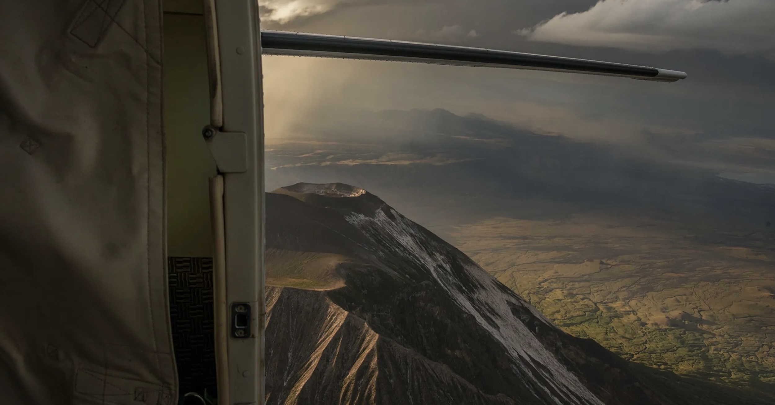
At 10,000 feet beside a snow-capped volcano, flying at two hundred knots or more, with a wind chill factor far greater, it was bloody freezing. I had two pairs of jeans, two coats, gloves, two t-shirts, three socks, one pair of boots, and I still froze. Considering each sortie was about two hours of shooting time, plus thirty minutes to the site from Moshi and back again, it ended up being three hours in the air. I could hardly think, but we were getting the shots!
The view was spellbinding, the volcano was massive, even at the 11,000 feet mark. Kili itself, plus the three peaks of Kibo, Mawenzi, and Shira were all very visible and snow-capped. The PC-12 was so close that I could simply indicate with my hand if I wanted Gilles to bank, climb, or lower the undercarriage, which was great as by now I could hardly talk due to the cold. 🛩️ 🌲
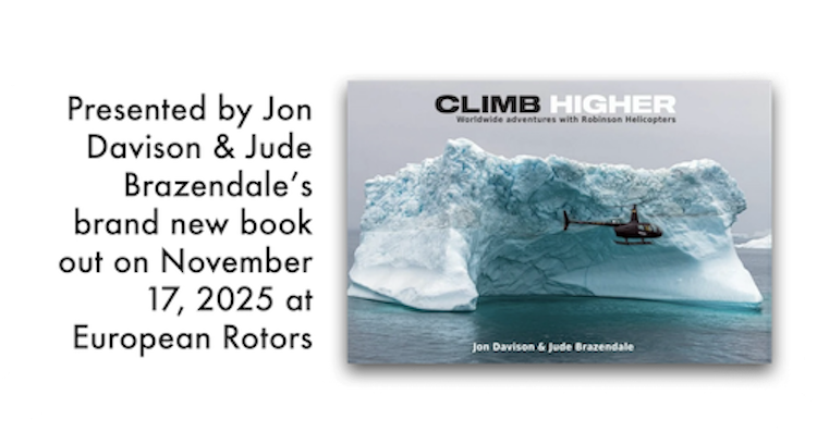
***Have any thoughts or questions on this story? Jon would love to hear from you. You can click or tap any photo in this article for a high resolution version along with a caption, if available. These photos were originally published in 2016 on Jon's personal website, Eye in the Sky Productions. More recently, Under African Skies was first published on Medium. As noted, this article is the third of four parts. To get back to Part II, click the Previous button down there on the left. For part IV, click the Next button on the right. Meanwhile, Jon Davison and his wife, Jude Brazendale, have just finished a new book; more details about which you can find by clicking its cover below.